The Short Version
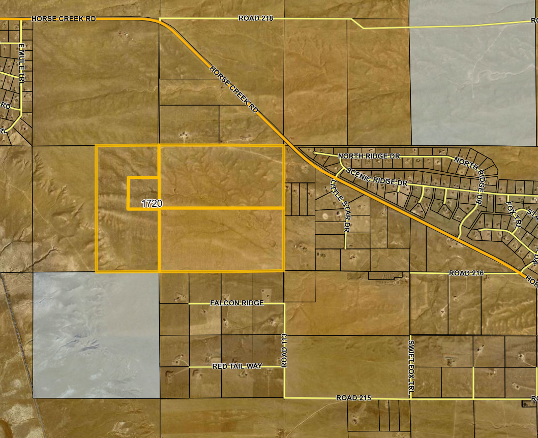
Black Hills Energy has acquired approximately 935 acres near 1720 Horse Creek Road for future power generation and battery storage. The property is close to existing rural homes, but the company has not publicly shown where the plant, batteries, wells, pipelines or transmission equipment would sit within the property.
Why It Matters
A 935-acre property line does not tell us what will actually be outside our windows. The placement of the noisiest, tallest and brightest parts of the project will determine which homes are most affected.
External Links



Internal Maps & Visuals
What We Know So Far
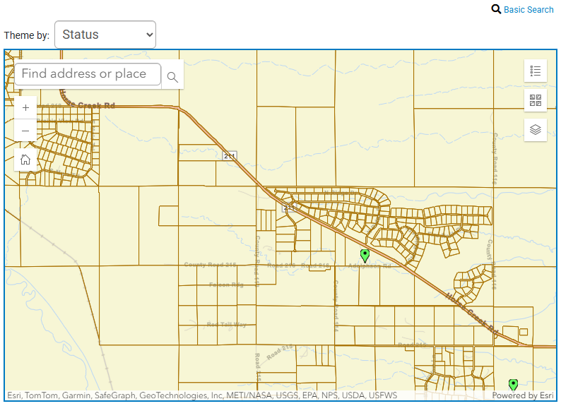
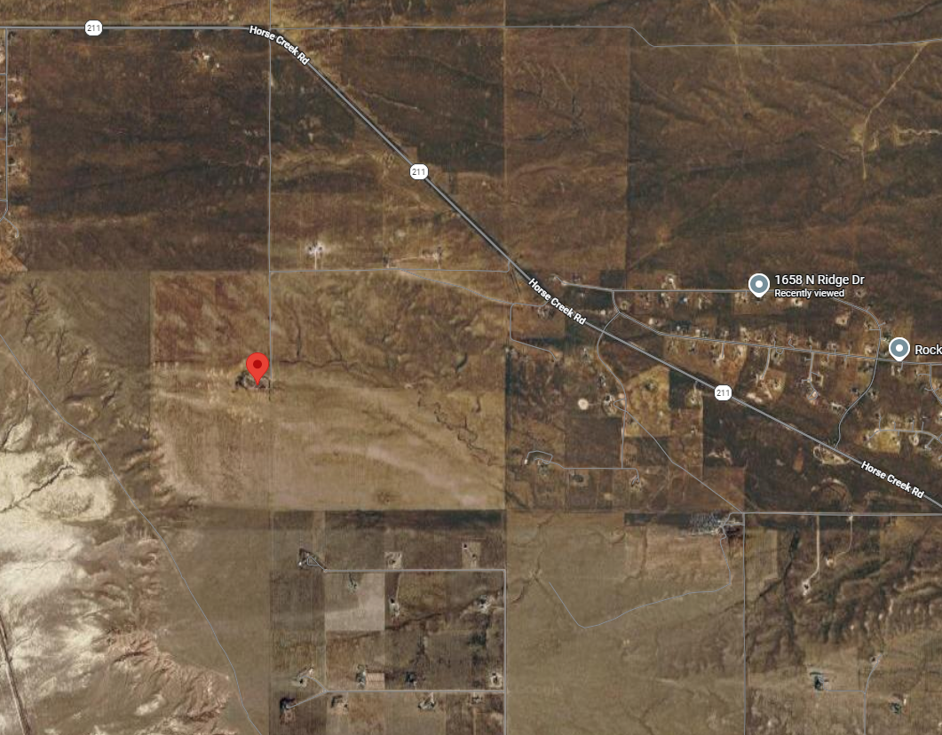
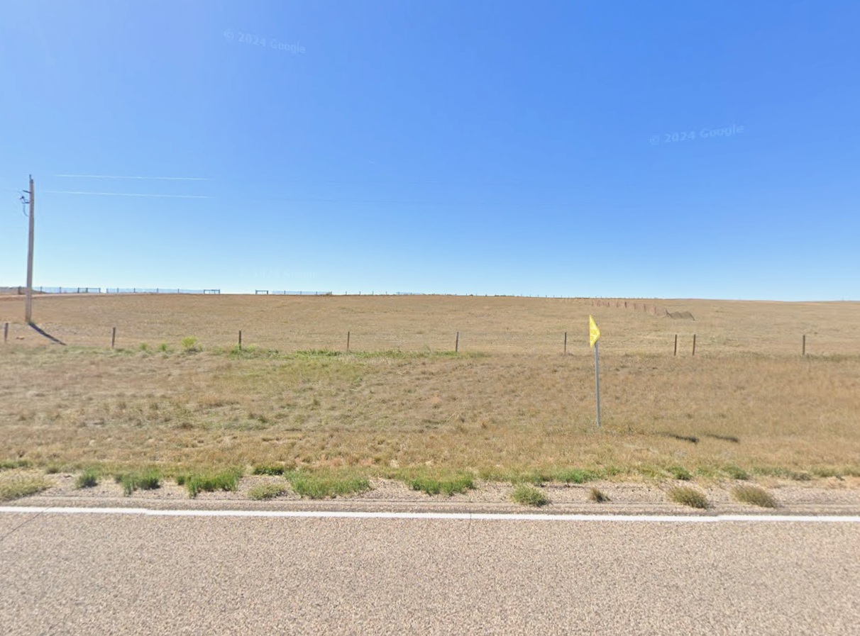
The property is near 1720 Horse Creek Road.
Black Hills Energy has discussed natural-gas generation and battery storage at the site.
An April 24, 2026 County letter identifies four parcels connected with the proposed power generation hub.
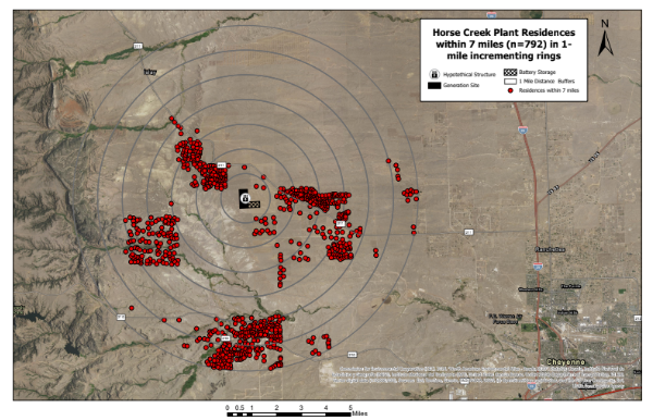
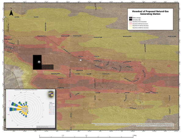
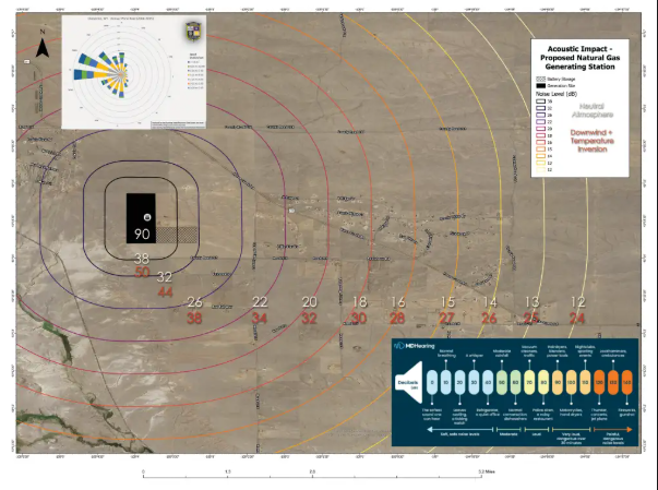
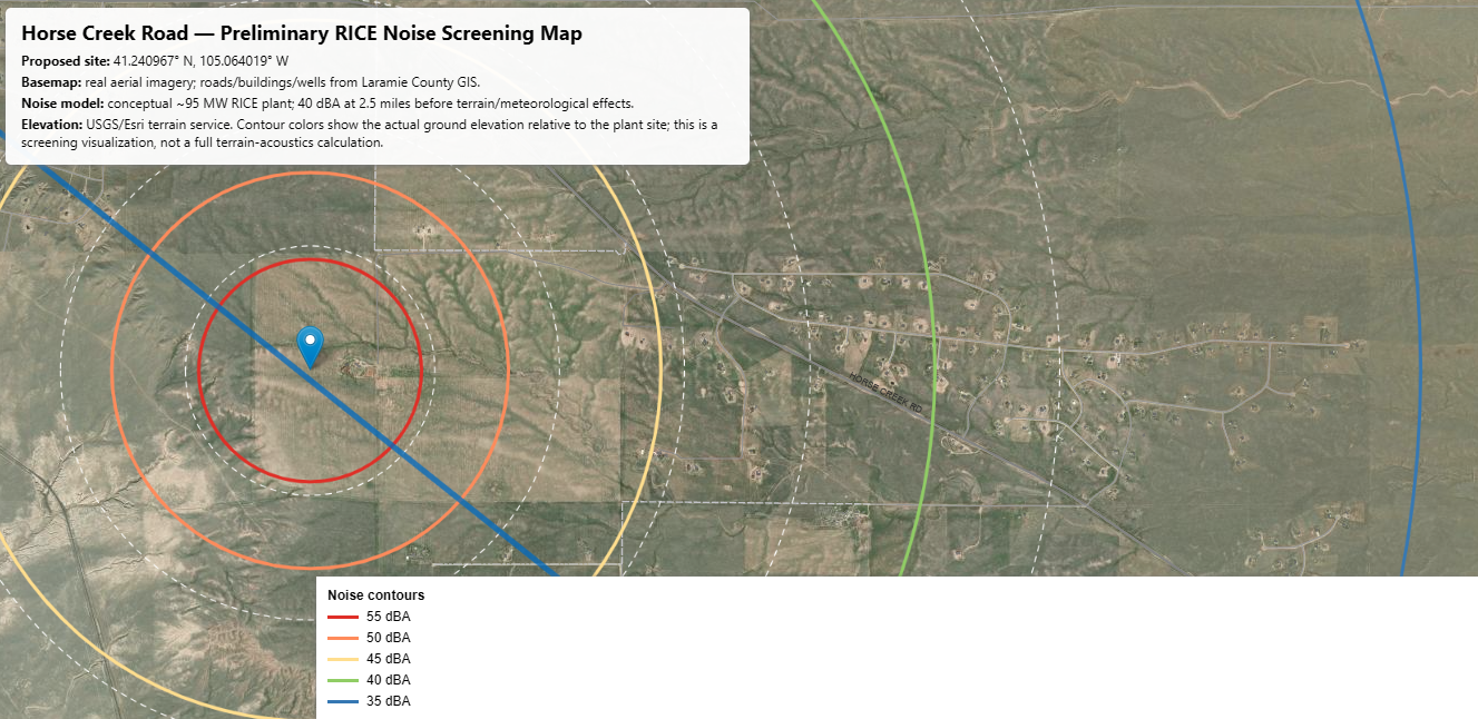
The maps currently available on this website are preliminary community maps, not official Black Hills Energy site plans.
What We Still Need to Know
Where will the generating equipment be located?
Where will the batteries, stacks, transformers and cooling equipment go?
How far will each major facility be from the nearest homes?
Where will construction entrances and haul routes be located?
Where will the gas pipeline and transmission lines cross?
What other property does Black Hills control through ownership, leases, options or easements?
Key Documents
Cowboy State Daily: Rural Cheyenne Residents Raise Concerns Over Proposed Horse Creek Gas Plant — The first major public report describing the property and proposal.
Laramie County Regulatory Direction to Black Hills Energy — April 24, 2026 — Identifies the project parcels and County regulatory position.
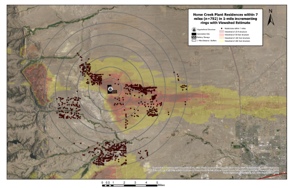
Preliminary Horse Creek Power Plant Viewshed Analysis — Shows possible visibility based on hypothetical structure heights.
Horse Creek Road Preliminary RICE Noise Screening Map — Shows the proposed area in relation to nearby homes and roads.